
At some points in the Grand Canyon you can touch a rock that is about 500 million years old with one hand and, just below, another that is almost 1.8 billion years old. There is nothing between the two. Where did all that time go?
The answer begins by undoing a misunderstanding. Those billions of years did not disappear from the planet: they disappeared from that specific column of rock. The Great Unconformity marks an absence in the local record, not a gap in the history of the entire Earth. It’s the difference between a library that lost a volume and an era that never happened.
A border that is not a layer
In geology, an unconformity is not a rock, but a contact: the line where two sets of very different ages are stuck together with nothing between them. It is formed in two ways, which can also be combined. Either a surface was exposed and erosion carried away the material on top, or for a very long time no new sediments were simply deposited.
That’s why the word lost deceives The geological record is an incomplete file, with pages that were torn out and others that were never written. In the Grand Canyon, the Tapeats sandstone, about 500 million years old, rests in some places directly on the Vishnu basement, about 1,700 to 1,800 million years old. That contact erases up to 1.3 billion years of local history.
It is advisable not to simplify: the canyon does not have a single discordance, but several. Where the Unkar Group, about 1,250 million years old, rests on that same basement, the gap is different, about 500 million years old. In other words, under the same name there are surfaces with different stories. And if a single line can summarize a billion years, the inevitable question is what was able to erase them.
A slow engine under the continents
For years, much of the debate placed the origin on the surface, with the erosion of cryogenic glaciations, those in which ice came to cover a large part of the planet, as the main suspect. However, recent work shifts part of the explanation to the deep interior of the Earth.
Santosh Dhungana and Nicolas Flament, from the University of Wollongong (Australia), propose in a study published in early November 2026 that slow currents in the mantle, the thick rocky mantle located between the crust and the core, generated long-wavelength topography. In their model, these currents uplifted large continental regions during the Neoproterozoic, the stage before the Cambrian explosion of life.
The logic of the mechanism is elegant. The mantle acts like a very slow engine that deforms the base of an entire continent, not like a chisel that sculpts a mountain. That uplift exposed large areas to erosion for hundreds of millions of years, and subsequent subsidence buried them under new sediments and preserved them.. First it is erased, then what is erased is covered.
Here it is advisable to brake. It is not a photograph of what happened, but a reconstruction based on simulations of mantle convection compared to the distribution of sediments. No one has observed these currents from hundreds of millions of years ago: they are inferred. The authors themselves warn that their model may overestimate the extent of this dynamic topography, and they do not rule out glaciers, but rather integrate them as a second actor that intensified erosion once the terrain was elevated.

The model fits better in Laurentia, the ancient core of North America, than in other regions such as Baltica or Northern China, where deformation and preservation followed their own paths. And just from one of those regions comes the data that complicates any single answer.
China breaks the calendar
If the Great Unconformity were the work of the same late glacial episode, it should be about the same age everywhere. The North China Craton, one of the oldest and most stable continental fragments on the planet, says otherwise.
Rong-Ruo Zhan’s team analyzed five sites in that craton, three in the interior and two near its margin, in a work published in 2026. To reconstruct the thermal history of the rocks, they combined several techniques that function as geological thermometers of different sensitivity, including uranium-lead dating in zircon and monazite and helium thermochronology, as well as inverse thermal modeling.
The study places the main phase of cooling and exhumation, the rise of deep rocks towards the surface, between 2.1 and 1.6 billion years ago.. It is an interval long before the cryogenic glaciations, which reduces the importance of ice, at least in that region. To understand to what extent, their models estimate a cooling of at least 370 °C, equivalent to about 12.3 kilometers of average exhumation inside the craton. That figure, however, depends on the geothermal gradient assumed by the authors and is not a direct measurement of how much rock was removed by erosion.
The cause? The authors attribute it mainly to the tectonics linked to the formation and fragmentation of the supercontinent Columbia, long before the best-known supercontinents. In his interpretation, the tectonic thrust, and not the ice, lifted and eroded the terrain that today leaves that border blank. It is a solid conclusion for the regional history they study, but it does not cancel the role that glaciers could have had in other areas of the planet.
Three suspects, no perfect alibi
The underlying problem is not choosing between tectonics, mantle or ice, as if they were exclusive options. Each one leaves their mark in their own way. Tectonics uplift and deform mountain-scale terrain, mantle dynamics modulate the altitude of entire continental regions, and glaciers intensify the erosion of already exposed surfaces. The proportion of each process could vary from one continent to another.
And there is a factor that usually remains in the background: preserving is as decisive as eroding. A surface can weather over millions of years, become buried under sediment, and, if later re-exposed or deformed, lose its original signal. Understanding these large-scale processes is, in essence, an exercise in scientific dissemination on how deep time is constructed, which does not fit into a human life or a civilization.
That’s also why the Great Discord isn’t the same age or appearance everywhere. As occurs in so many debates in current geology, the challenge is not to find a culprit, but to distribute responsibilities among several processes that acted at the same time.
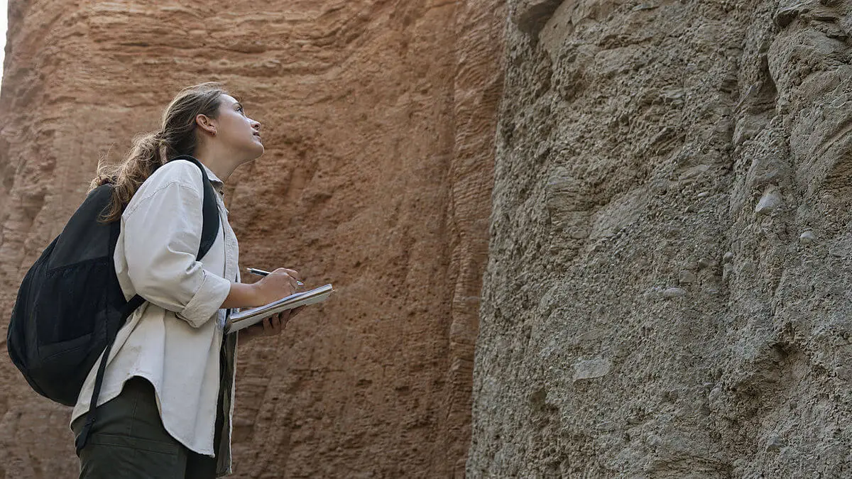
Therefore, the most difficult job remains: separating in the same line of rock the signs of tectonics, the mantle, the rivers, the ice and the subsequent burial. Until this is achieved, each contact like that of the Grand Canyon will continue to be a question without being fully answered, with the hand resting on more than a billion years that the rocks simply stopped counting.